
Centerline Data from Next Generation 911 Effort Will be on the Commons
Since 2015, MnGeo and the Department of Public Safety (DPS) have been collaborating to create a more modern 911 system entitled Next Generation 911 (NG911). Through the use of geospatial data, emergency personnel can more accurately pinpoint the location of emergencies allowing for quicker responses – and the potential to save more lives. Accurate geospatial data will also allow 911 calls from... more
National Agricultural Imagery Program from 2015 Available
The USDA Farm Services Agency National Agriculture Imagery Program (NAIP) acquires aerial imagery of the continental U.S. during the agricultural growing seasons. A primary goal of the NAIP program is to make digital ortho photography available to governmental agencies and the public within a year of acquisition. In coordination with the USDA, MnGeo has made the 2015 collection of... more
Learn More About the Policy Behind Free & Open Data
Did you ever wonder why the MetroGIS Regional Parcel Dataset is now completely free and open without license or fees? Are you interested in learning more about the research, deliberation and benefits of free and open data policies? If so, the MetroGIS Data Producers Work Group and Policy Board have compiled “... more
Join us at Geo:Code 2.0, March 5 and 6, 2016
In 2015, Hennepin County hosted the first Geo:Code open data code-a-thon. The organizers are looking forward to taking the conversation about community, open data, technology and geography across the Twin Cities. This year's event will be held 9 a.m. to 5 p.m., March 5 and 6, 2016, in Room 412 of Robert H. Bruininks Hall... more
Milestones: 500 resources, and Retiring DataFinder
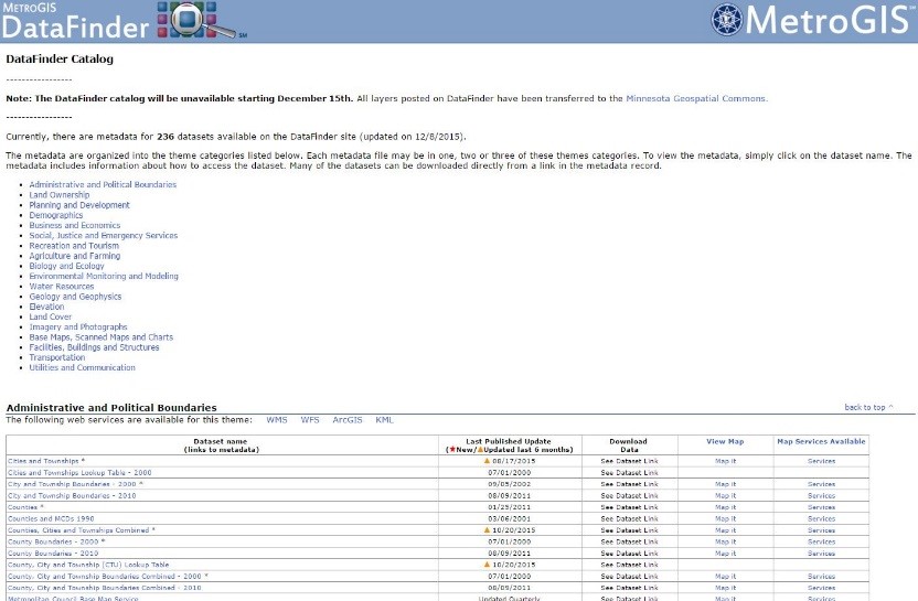
On December 3, the total number of resources available on the Geospatial Commons surpassed 500 for the first time. This is due to two major publishers: the Metropolitan Council and... more
Next Generation Metadata Slides Posted
If you attended the 2015 GIS/LIS Consortium Conference in Duluth, MN, you may have noticed that many folks behind the Geospatial Commons were in attendance, with lots to discuss. The Commons was highlighted in the "state of the state" address by Chief Geographic Information Officer Dan Ross; MN.IT @ MPCA's David Fawcett was presented with a ... more
Annual Refresh of National Soil Data
On October 20, 2015, the USDA-Natural Resources Conservation Service updated soil data for 2,706 soil survey areas, including many areas of Minnesota. The spatial data (soil polygons, lines and points) and tabular data (physical and chemical properties and interpretive information) are available free from NRCS's Web Soil Survey (WSS). This site is the most widely-used and authoritative website for accessing soil... more
Minnesota Metadata Editor webinar offered by MnDOT October 20
Continuing its series of GIS webinars in 2015, MnDOT is offering a new session on October 20, noon-1:00, about the Minnesota Metadata Editor (MME). Jesse Pearson from MN.IT @ DOT will show attendees how to use MME to create metadata about data they want to provide to the Commons. Attendees will learn how to appropriately create metadata for data layers and how each area of the metadata is important. For information about joining the webinar, contact Amelia Rockwood at ... more
Please Welcome the Metropolitan Council, MetroGIS, and Dakota County to the Commons
This past summer, the Geospatial Commons operations team worked hard to make sure that new publishers could utilize a method of web-based publishing via an FTP site. (See the overview of publishing resources for more information.) Once this method was solidified, we were able to welcome three new publishers to our list of participating organizations: Dakota County, MetroGIS, and the Metropolitan... more
Webinar about the MN Geospatial Commons offered by MnDOT September 16
Continuing its series of GIS webinars in 2015, MnDOT has invited Mike Dolbow from MnGeo to offer a session about the Minnesota Geospatial Commons at noon on September 16. Learn about the start, growth, and exciting future of the Commons. For information about joining the webinar, contact Amelia Rockwood at ... more